The Men and Women behind the MASC Project (Monitoring the Archaeology of Sligo’s Coastline)
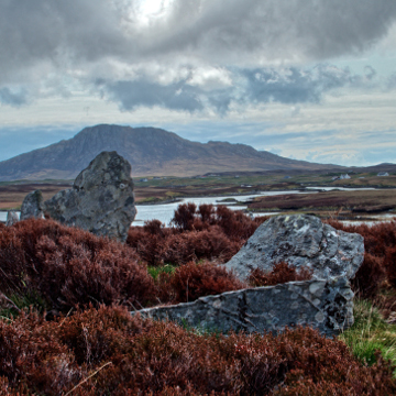
Recent winter storms had a considerable impact on vulnerable archaeological sites in Ireland. Stone forts fell into the sea. Castles crumbled to the ground. Shipwrecks, middens, timber trackways and ancient drowned forests were revealed for the first time in centuries. Heritage venues were flooded and a large number of archaeological sites were lost entirely. Ireland is coming to terms with the almost annual frequency of severe storm events. The National Monuments Service – responding to notifications from members of the public – sends teams of experts to further investigate storm-related discoveries. Irish legislation requires intrusive fieldwork to be carried out only by archaeologists working under a pre-approved license, which limits the contribution of citizen scientists to discovery and non-destructive recording. Despite the need for a coherent coastal monitoring strategy, funding citizen science schemes – even for basic tuition in recording methods – is still a challenge. Archaeological and environmental staff and students at the Institute of Technology, Sligo – acting as local coastal rangers – have discovered previously unrecorded burnt mounds of stone, middens, peat shelves and trackways on eroding beaches in Sligo County during the winter of 2014-15. Coastal rangers are engaging with local stakeholders that already have a significant presence at vulnerable erosion sites: scouting, anti-litter and bird watching groups. Tuition in archaeological recording techniques, including high-resolution photography for later use in photogrammetry will initiate Monitoring the Archaeology of Sligo’s Coastline (MASC), a pilot study for rangers to act as ‘first responders’ capable of making an informed decision to notify relevant government departments.